
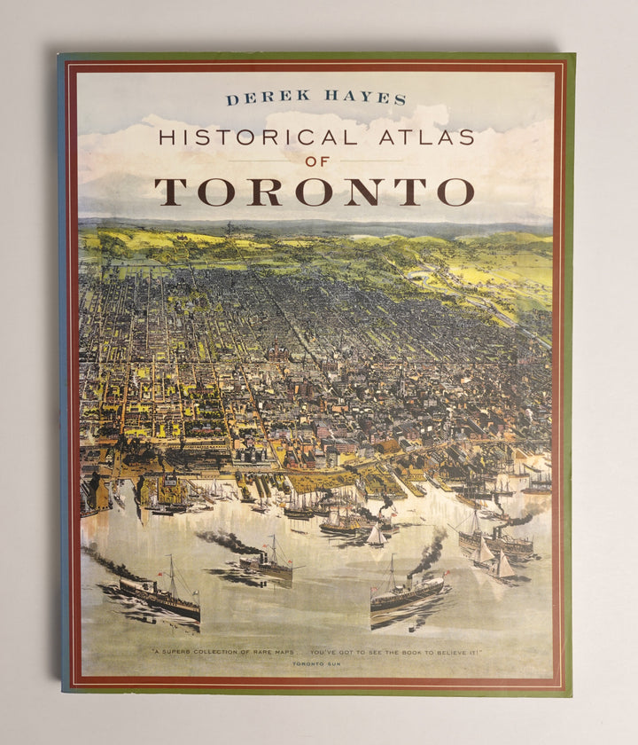
Historical Atlas of Toronto
Why it matters
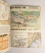
Before a city exists, it's just land. Then someone draws a line, and suddenly there's a street. Someone draws another and there's a block. Someone decides where a park goes, where a road bends, where one neighbourhood ends and another begins, and a city starts to take shape.
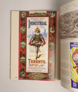
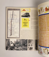
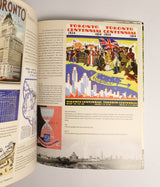
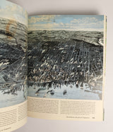
Hayes pulled together centuries of those decisions: the original colonial surveys, the fire insurance maps, the bird's-eye drawings. Laid side by side, they let you watch Toronto think itself into existence. Every street you walk down was someone's idea. Every boundary you cross was drawn by someone with a specific agenda. This atlas is the record of the choices behind the city you live in. The closest thing Toronto has to a blueprint for itself.
City Canon · Toronto · June 2026
$80
Ships from Toronto · 10% funds the Art Access Fund